
Reading Tyler County Parcel Maps
MapWV is the public statewide viewer. It comes from the West Virginia Property Tax Division and the WV GIS Technical Center. In Tyler County it starts from a physical address. Selecting a result opens the parcel detail. Behind the scenes, its parcel service stacks address points, parcel geometry, district context, and an attribute summary. Those layers help you orient a property search. They connect it to the county's district and map/parcel controls.
| Layer | What It Shows | Use |
|---|---|---|
| Site Address Points | Geocoded physical address points | Find a location |
| WVParcels | Parcel geometry and map labels | Identify a selected parcel |
| Districts | Tax and assessment district context | Match the county map key |
| ParcelSummary | Parcel attribute summary | Review mapped parcel details |
| Identify / Query | Selected feature or requested attributes | Inspect the statewide service |
The viewer includes Start Over and Export as CSV controls. Several parcels can stack on one spot. In that case, it can display a Parcel ID list with arrows. Errors should go to the local Assessor. Its own guide tells users to raise them there. Treat the Tyler County parcel map as a discovery layer. The Clerk's deed, the Assessor card, and the tax ticket stay separate records for confirmation.
Finding a Tyler County Parcel by Address
Begin the address search in MapWV. Tyler County's local card then works through a district dropdown. It also offers a map dropdown and parcel selection or entry controls. District codes run 01 through 10. They name Centerville, Ellsworth, Friendly, Lincoln, McElroy, Meade, Middlebourne, Paden City, Sistersville, and Union. Copy the labels exactly as shown. The county publishes no single fixed punctuation pattern for a Tyler parcel number.
- Search the physical address in MapWV and zoom until parcel lines appear.
- Select the matching feature and note its parcel identifier and county.
- Compare the district and map/parcel values with the Tyler Assessor viewer.
- Use the Clerk's description and cross references to check the recorded legal description.
- Parcel key
- The district, map, and parcel references used by the local Assessor.
- Plat
- A recorded map that lays out lots or other land divisions.
- Lot and block
- A legal description tied to the named lots on a plat.
- Metes and bounds
- A description that follows measured lines and boundary calls.
- Easement
- A recorded right affecting how land may be used or crossed.
MapWV's Tyler County Parcel View
Parcel outlines in MapWV appear once you zoom to about 1:18,056. A click identifies one parcel. It opens a list when several features overlap at that scale. For a single selected parcel, the Basic Information panel opens. Note that the owner address may differ from the site's physical address. Start Over and CSV export round out the controls. Keep the export date with your notes. A map extract is a working reference rather than a deed copy. The WV Property Viewer is the first map route for a Tyler County location.
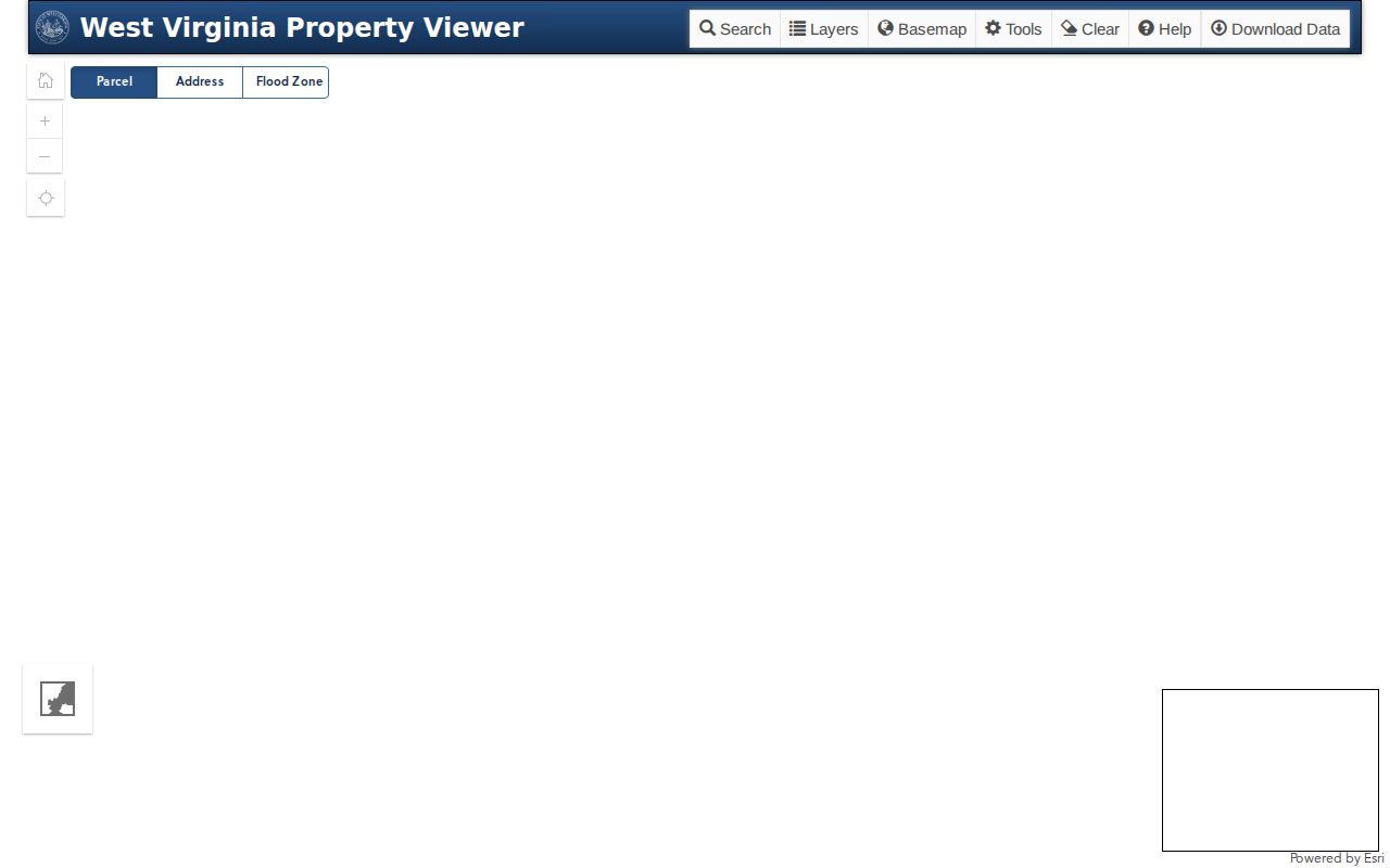
Take the parcel key from the selected feature. Then check it against the county card and recorded documents.
When MapWV shows a Parcel ID list at one location, step through the listed features. Open each Basic Information panel before picking the match. Start Over resets the viewer for a fresh search. If an address result and a selected parcel disagree, contact the Assessor about the county map card. Do not guess a boundary from screen pixels.
Tyler County GIS Service Layers
The WV Parcels ArcGIS service publishes four layers: Site Address Points, WVParcels, Districts, and ParcelSummary. It supports Identify, Find, Query, map export, and attribute export. Responses come back as JSON, GeoJSON, or PBF. Layer metadata describes a tax inventory compiled from deeds, plats, and public documents. The service does not turn those source instruments into a survey.
The service caps records and selections at 2,000. Large queries may need narrowing or splitting. For most property questions, one identified parcel is enough. Carry the location to the Tyler County Assessor or Clerk from there. Skip the countywide download.
Pick the layer that answers your question before touching its query controls. Identify works from a selected map feature. Find searches text. Query requests attributes through the service's available fields. Read the layer's field list first. Narrow a request when results near the 2,000-record limit. A clipped response or partial export is never a complete Tyler County parcel list.
The WV Parcels service page lists the map layers and query tools.
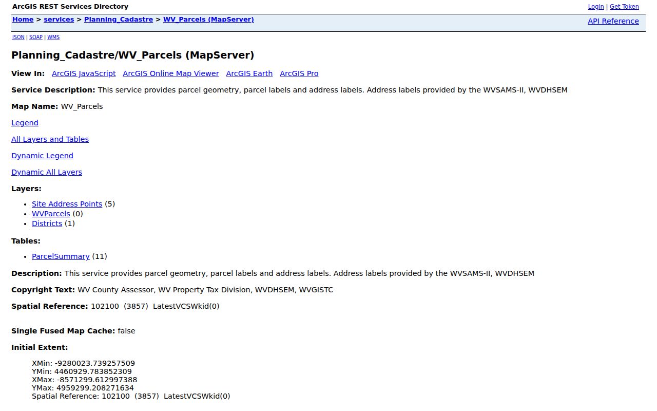
The service is a technical route for parcel attributes. The official local records sit with the Tyler County offices.
When an attribute matters, save the layer name, parcel identifier, query date, and result format alongside the export. The service returns JSON, GeoJSON, and PBF. But an exported feature still reflects a compiled parcel inventory. It is not the signed deed, the official map card, or a survey. Use a selected feature to locate the source record. Then verify the same district, map, and parcel with the county custodian.
Tyler County Tax Map Archive
A Meade District sheet from the Tyler County tax map archive shows how these older maps work. The file path points to Tyler County, District 06 Meade, and map 06-0002. It is dated August 29, 2017. The scale is one inch to 400 feet. Roads, irregular parcel lines, acreages, and circled parcel or index numbers fill the sheet. Deed lot numbers are set off in parentheses.
The archive also carries a notice. The maps are for tax purposes only. Reproducing, copying, distributing, or selling state-owned maps without permission is restricted. Treat the archive as a reference, and follow the notice posted there. An old lot number may fail to match a current street address. In that case, compare the sheet against the recorded plat and the Clerk's legal description before drawing any conclusion.
Read each sheet with its date and scale in view. The Meade example shows road names and boundary strokes. Acreages, circled index numbers, and parenthetical deed lot numbers sit beside them. Those labels help locate a reference within the archive. They do not describe every easement or establish a measured line on the ground. Ask the Assessor which current card corresponds to an older number.
The Meade District tax map archive provides the dated map example.
Tyler County Parcel Keys and Plats
Tyler County does not use one fixed APN pattern. The Assessor's selection runs on district plus Map/Parcel. Because of that, save the district and the exact local map label alongside the parcel number. Do this whenever you search deed records later. The Clerk's IDX groups its entries under PLAT, PLAT LARGE, DEED&PLAT, PLAT BOOK, PLATS, and RIGHT OF WAY.
Those entries can tie a lot or block to its map. An online result may still omit the image or the full instrument. A plat earns its keep when a town address carries an older street label. It also helps with a subdivision lot description. Tyler County publishes no verified list of named subdivisions with plat book and page references for its incorporated places. Check each name against a recorded instrument before treating it as a formal subdivision.
Keep the county map key intact. Do not stretch it into an assumed statewide APN pattern. Tyler's parcel viewer separates district, map, and parcel controls. The archive's District 06 sheet illustrates one district-map combination in practice. A recorded plat can add lot and block context, while a metes-and-bounds deed may define a different shape. Match all of those descriptions to the actual instrument. Do not conclude that two map labels identify the same property until then.
Parcel keys and plats answer different questions. The key locates the parcel. The plat explains how the lot sits within its block.
Tyler County Mineral and Boundary Limits
The Tyler County Assessor warns about older mineral severances. They often were never linked to the surface parcel for mapping. A GIS parcel map can locate the surface, but a separate oil, gas, or mineral chain stays unresolved. A GIS parcel map locates only the surface. For questions of mineral ownership or production, search leases, assignments, cancellations, and related Clerk documents.
Paden City adds a county edge. Tyler District 08 covers its Tyler-side area. The incorporated place itself, along with its municipal directory, crosses into Wetzel County. Check the physical parcel geometry and the county identification before choosing a records office. A map line can guide the request. But a deed and survey remain the source for legal boundaries and interests.
What Tyler County Maps Cannot Prove
Tyler County parcel maps serve inventory and tax reference. Their lines can lag behind a recorded deed. They can omit an older mineral severance, or show a surface parcel with no complete mineral title behind it. For a disputed boundary, the tools are a legal description and a current survey. No map click settles a legal line.
Not a survey. MapWV and tax maps support research and tax inventory. Have a licensed surveyor resolve a boundary before building or making a boundary claim.