
Finding Tyler County's Nearby Parcels
A Tyler County search starts with one subject parcel. Write down the map identifiers of the lots around it. MapWV locates the address and parcel. The Assessor then ties local taxable ownership to a district and Map/Parcel key. Recorded plats can show lot arrangements. No verified buffer or one-click neighbor tool exists. The route is manual rather than automatic.
| Source | What It Shows About a Block | Access |
|---|---|---|
| MapWV / WV Parcels | Subject and surrounding parcel geometry | Select each parcel; use identify or query |
| Tyler Assessor card | Taxable ownership reference and district/map key | District and Map/Parcel controls; office copy if needed |
| Clerk plat categories | Recorded lot, block, right-of-way, and plat references | IDX categories or County Clerk request |
| Recorded deed | Legal description and named parties for one parcel | Clerk IDX and instrument copy |
A parcel record names land and an owner. It is not a directory of residents. The mailing address can differ from the property's physical address, and a company or estate may hold title. Treat any block list as a map-based index to parcels.
Tyler County's Manual Parcel Check
The WV Property Viewer begins with a physical address. Selecting a parcel opens a Basic Information panel. Parcel lines appear at a close scale, around 1:18,056. Overlapping parcels can come back from a query, and the site's Parcel ID popup and arrows help you pick the right feature. For the block, write down the subject identifier. Then select each visible parcel that touches or lies near it, using the MapWV parcel viewer for the address and map starting point.
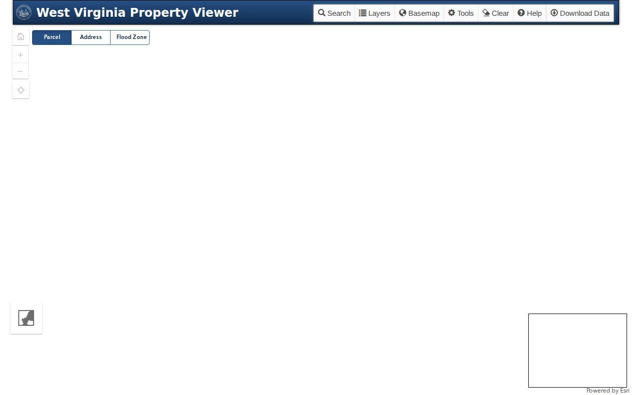
Click each neighboring parcel in turn, noting its parcel number and position on the map.
Tyler County GIS Has No Verified Buffer
The WV Parcels ArcGIS service supports Identify, Find, Query, and export. It offers no select-adjacent or radius buffer control. A nearby-parcel workflow starts with the subject feature. The on-screen geometry then points to the next parcel over, so no automated neighbor report should be promised.
Layers include Site Address Points, WVParcels, Districts, and ParcelSummary. They match an address to a parcel and district. The countywide inventory draws on deeds and plats. Check every owner or boundary conclusion against the underlying Tyler County card or recorded instrument.
The WV Parcels GIS service publishes its layers and query tools.
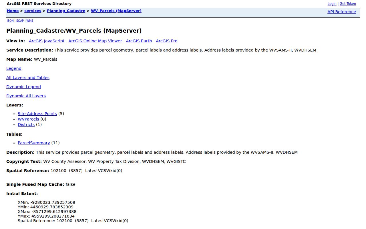
The layer list supports manual review of adjacent owners.
Tyler County Owner Checks by Parcel
Parcel identifiers from the map lead to the Tyler Assessor's District and Map/Parcel controls. District names include Meade, Middlebourne, Paden City, Sistersville, and surrounding rural areas. Ten districts cover the county. The map-card interface offers no owner-name search. The Assessor publishes no live online card. For an ownership question, carry the local parcel key to the Assessor or Clerk. The Assessor identifies taxable ownership. The Clerk index shows recorded parties. A named owner is not always an occupant, and a mailing address can point away from the parcel, so no roll search serves as a complete block directory.
Tyler County Plats and Shared Edges
Plats show where lots sit beside one another. They help when an old street address no longer matches the deed. The Clerk IDX lists PLAT, PLAT LARGE, DEED&PLAT, PLAT BOOK, PLATS, and RIGHT OF WAY. Search the subject's legal description first. Compare lot or block labels with the map. The viewer carries no HOA or subdivision boundary layers. Shared parcel geometry is only a clue, since a road, stream, easement, or narrow strip can change what appears to touch. The recorded plat and instrument explain the mapped lot relationship, and a current survey settles any disputed line.
Paden City Neighbor County Check
A block around Paden City can cross the Tyler and Wetzel records boundary. The city sits in two record systems. The municipal directory places Paden City in Wetzel County. The Tyler Assessor lists District 08 for Tyler-side parcels. Map the actual parcels one by one and note the county before collecting neighboring owner records. One postal address does not mean one tax office. A neighbor's parcel may sit in another county even beside the same street. Use the Tyler Assessor only for Tyler parcels. Send a Wetzel parcel to Wetzel's custodian, and treat the city line, ZIP, and tax-district map as separate clues to verify.
Tyler County Neighbor Search Boundaries
West Virginia law carves out exceptions to public-record access. Protected address programs can limit what a custodian releases. The Safe at Home program may shield an address entirely. No published rule spells out a block-level lookup for a protected entry. So ask the Tyler County custodian directly. Never try to infer a hidden address from some other source.
Adjacent parcel records fit a lawful boundary question, a purchase review, or a civic issue. An owner's mailing address is not an invitation to approach them. Map results describe land, not people. They should never be used to target or harass anyone nearby.
Mapping a Tyler County Block
Pick the subject parcel first. Then move outward from its geometry to each nearby lot, matching the county identifier one lot at a time. No buffer tool exists, so the comparison stays manual, pairing the map against the records.
- Search the address in MapWV and select the subject parcel.
- Note visible adjacent parcel IDs and select them one at a time.
- Match each ID to its Tyler district/map/parcel entry and Assessor record.
- Use the Clerk's plat or deed if the lot line or street name is unclear.
Keep a separate line for every parcel you select. Record its map identifier, situs address, owner or mailing address, and the lookup date. Nearby is not the same as adjacent. A parcel can sit close to the subject yet share no legal boundary. Roads, rights of way, and streams often lie between mapped lots. The question may turn on which parcel touches a line. In that case, compare the recorded plat or deed. A disputed boundary belongs with a surveyor.
MapWV's owner address may not be the neighbor's physical address. The parcel layer never says who lives there. Confirm each tax-card name with the Tyler County Assessor. Do not copy one result across a block. No adjacency or buffer control appears in the viewer. The work stays a deliberate, parcel-by-parcel check.
- Parcel key
- The district, map, and parcel identifiers used by the Tyler Assessor.
- Adjacent parcel
- A nearby mapped lot; confirm whether it shares the legal line in the plat or survey.
- Buffer
- A distance area around a feature; a Tyler viewer buffer was not confirmed.
- Plat
- A recorded map that labels lots and their arrangement.
Privacy Limits on a Tyler County Neighbor Lookup
A Tyler County neighbor lookup traces parcels and their land records. It cannot name everyone living nearby. A deed or tax roll may list an owner, company, trust, or estate, while the notice address sits somewhere else entirely. Protected records and statutory exceptions still apply.
Lawful use. Use nearby parcel information for a boundary question, property diligence, or civic purpose. Do not use a Tyler County record or address to watch, harass, or harm anyone.